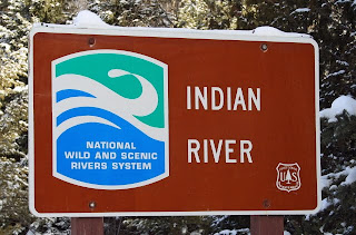
Our home is about 1 1/2 miles north of the Indian River. For us, the easiest is at the bend where Thunder Lake Road changes from an east-west road along the north bank, and heads south, crossing the river. On the west side of the road is a launch area (across the river is a trail head for the Pine Marten Trail). The Indian River is designated a "Wild and Scenic River" which should secure a future for its waters and the wildlife that inhabit its environs. It has its headwaters near Hovey Lake west of Forest Hwy 13, about 10 miles south of Munising and it flows all the way into Lake Michigan, over 60 miles to the south.

The river is usually not too wide, only about 30' in width, and in many areas it has very steep banks. It flows swiftly along through hardwood and coniferous forests, as well as marshy stretches. It is cold and has a strong current--trout can be found in the right areas.

The river is usually not too wide, only about 30' in width, and in many areas it has very steep banks. It flows swiftly along through hardwood and coniferous forests, as well as marshy stretches. It is cold and has a strong current--trout can be found in the right areas.


No comments:
Post a Comment